Artwork
Air Routes of the World (Day)
Air Routes of the World (Day) is a print by Langlands & Bell. It dates from 2001 and is held in the collection of the Victoria and Albert Museum.
About this work
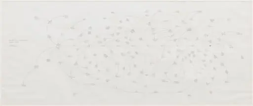
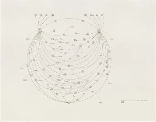
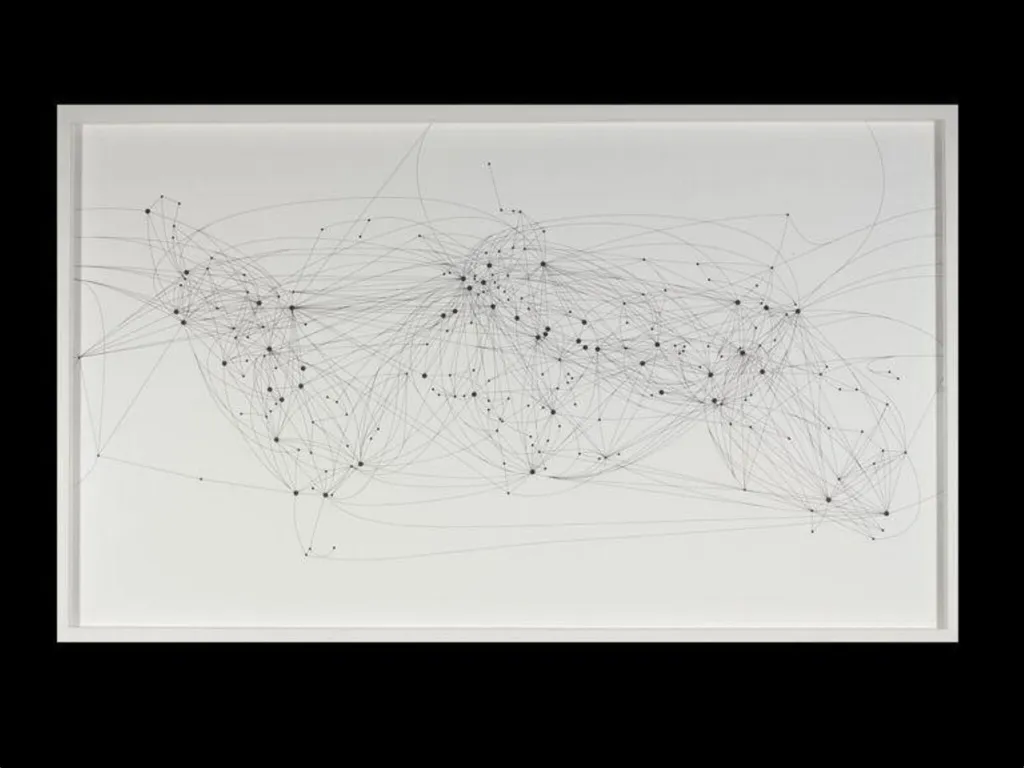
Langlands & Bell made this print in 2001. It shows airline routes as dots and lines across a white sheet. The airports become star-like points, linking cities instead of stars.
This print belongs to a pair. One shows the routes in daylight; the other at night. It turns the globe into a network you can trace with your eyes.
Look up Langlands & Bell.
Overview
The work translates global air travel infrastructure into a minimalist graphic composition, reducing the planet to a network of points and lines.
Created in 2001, Air Routes of the World (Day) is one half of a diptych by Ben Langlands and Nikki Bell. The work translates global air travel infrastructure into a minimalist graphic composition, reducing the planet to a network of points and lines. The white background emphasizes the luminous arrangement of airports and flight paths, inviting viewers to trace connections across continents without geographic reference points.
Subject & Meaning
The print maps commercial aviation routes as a constellation of dots and lines, replacing traditional cartography with a system defined by human mobility. Airports become nodes of connection, their spatial relationships forming an abstract topology of global interaction. The absence of landmasses or political boundaries shifts focus to the invisible infrastructure that links distant places, suggesting a world ordered by transit rather than territory.
Technique & Style
Langlands and Bell employed precise, linear drafting to render the network with clinical clarity. The composition relies on contrast and repetition: white space frames the black dots and lines, creating a visual rhythm reminiscent of celestial charts. The reduction of detail to essential forms eliminates ornamentation, aligning the work with conceptual and systems-based art traditions that prioritize structure over representation.
History & Provenance
The print was produced in 2001 as part of a paired series, with its counterpart, Air Routes of the World (Night), featuring the same network on a black ground. Both works emerged from the artists’ long-standing interest in how systems—transport, communication, surveillance—shape perception. The diptych was developed during a period of expanding global air travel and heightened awareness of interconnectedness, preceding major geopolitical shifts in the early 2000s.
Context
Emerging from a broader artistic inquiry into institutional and technological frameworks, the work reflects late 20th-century concerns with globalization and information mapping. It resonates with contemporaneous developments in data visualization and network theory, while also echoing historical traditions of celestial cartography. The piece situates air travel not as a service but as a defining structure of modern spatial experience.
Legacy
The diptych remains a significant example of how art can translate complex systems into accessible visual forms. Its influence is seen in later works that treat infrastructure as subject matter, and in the growing field of data aesthetics. By stripping away geography to reveal hidden patterns of movement, Langlands and Bell offered a new way to read the world—one governed by routes rather than borders.
Artist & collection