Artwork
Map of Bruges
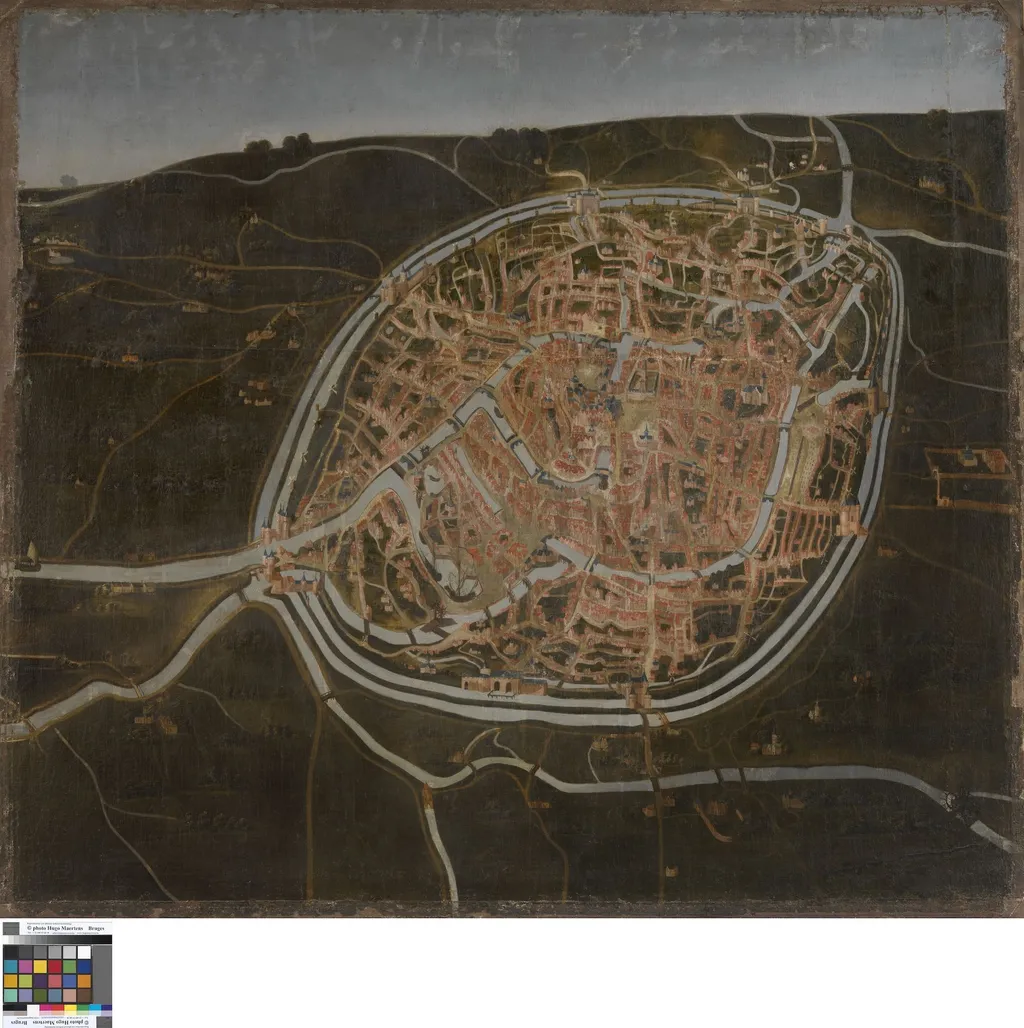
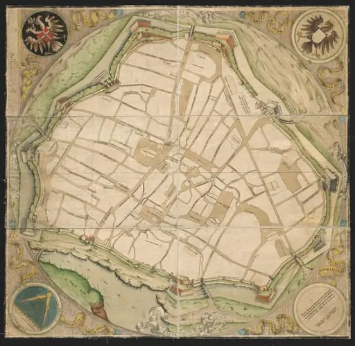
Map of Bruges is an oil painting by the Barbizon school artist Unknown. It dates from 1546 and is held in the collection of the Groeningemuseum. This painting is an oil-on-panel work depicting the city of Bruges as a detailed topographical map.
About this work
Overview
This painting is an oil-on-panel work depicting the city of Bruges as a detailed topographical map. Unlike traditional landscapes, it presents urban features with cartographic precision, blending geographic accuracy with artistic representation. The composition functions both as a view of the city and as an instrument of spatial documentation.
Subject & Meaning
The painting portrays Bruges in the late medieval period, highlighting its canals, churches, and fortified walls. Its purpose appears to be neither purely decorative nor purely functional, but rather to assert civic identity through visual order. The inclusion of recognizable landmarks suggests an intent to commemorate the city’s prosperity and structural coherence.
Technique & Style
Oil paint is applied with fine brushwork to render architectural details and waterways with clarity. The perspective is elevated and slightly flattened, resembling manuscript maps of the time. Colors are muted yet deliberate, emphasizing form over atmospheric effect. The absence of human figures reinforces the focus on urban structure.
History & Provenance
The painting likely originated in Bruges during the 15th or early 16th century, possibly commissioned by a civic authority or wealthy merchant. Its survival suggests it was preserved within local collections. No definitive record of its early ownership exists, but its style aligns with regional Flemish traditions of topographical representation.
Context
During the period, Bruges was a major commercial center in the Low Countries, and visual representations of cities served as symbols of economic and political stature. This work reflects a broader trend in Northern Europe where maps and city views merged artistic and documentary aims, often produced for elite patrons seeking to assert regional pride.
Legacy
The painting contributes to the early tradition of urban cartography in art, predating later printed city views. It remains a rare example of a painted map created as a standalone object rather than an illustration. Its existence informs modern understanding of how medieval and Renaissance communities visualized their urban environments.
Artist & collection

 Domestic Scene
 Giacomo and Cardinal Marco, investing Andrea, Abbot of San Zeno, with his Benefice
 The Nymph of Fontainebleau
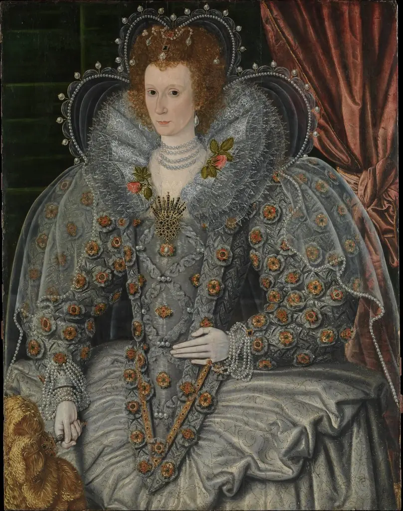 Portrait of a Woman
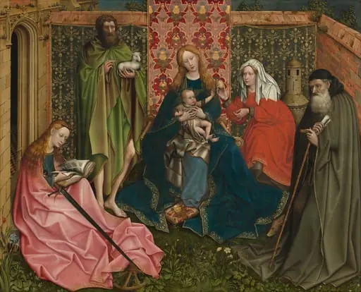 Madonna and Child with Saints in the Enclosed Garden
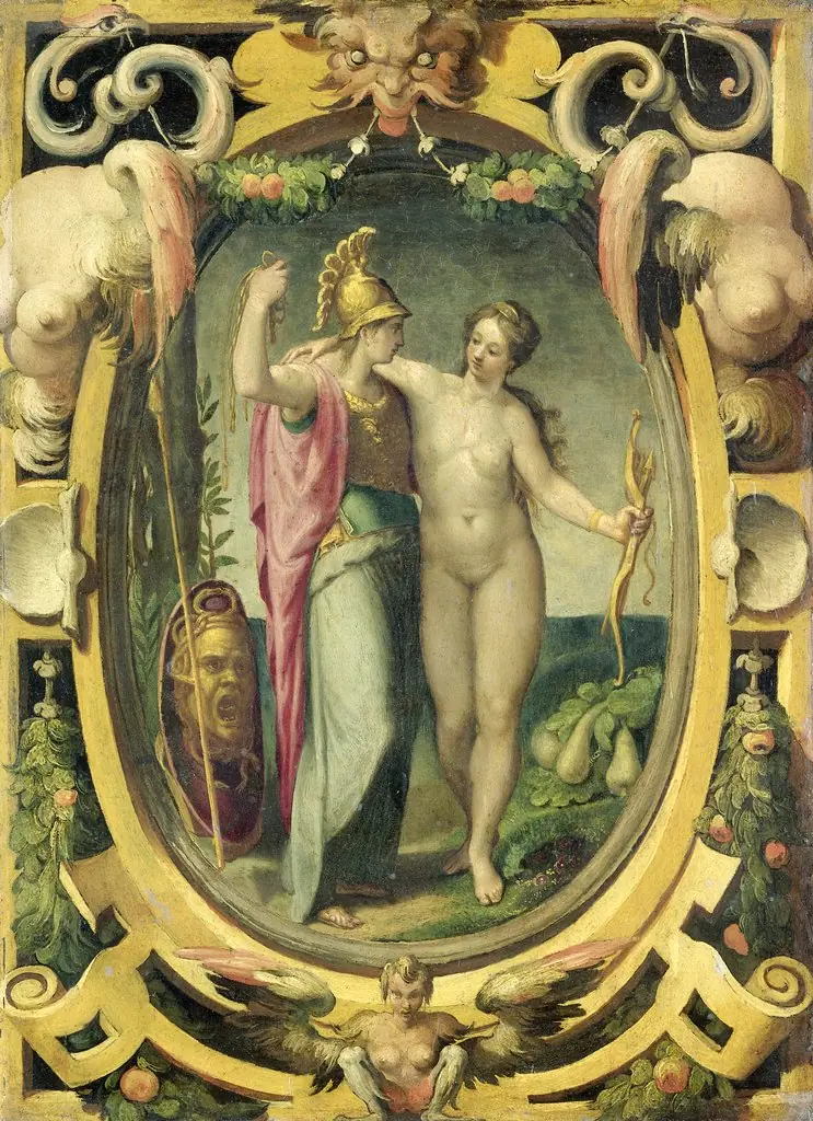 Venus and Minerva
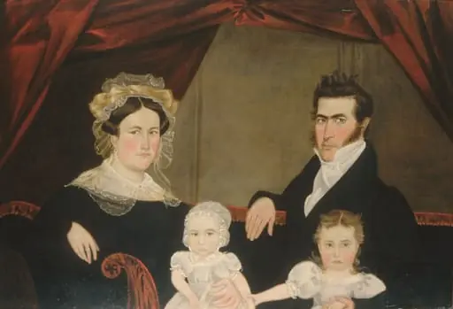 Family Group of Four on Sofa
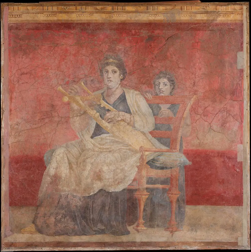 Wall painting from Room H of the Villa of P. Fannius Synistor at Boscoreale
 Map of Vienna
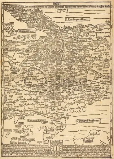 Road Map of Central Europe
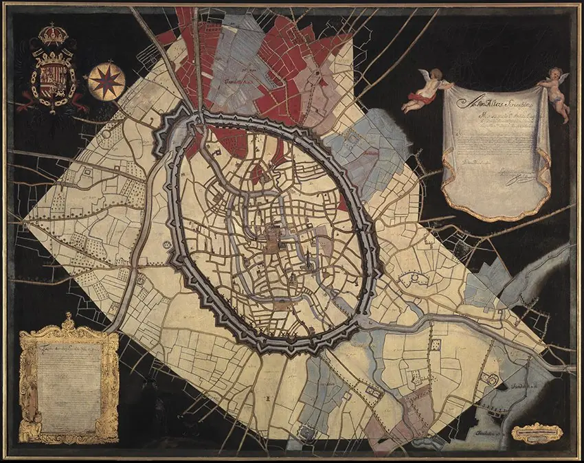 Kaart van Brugge en de waterwegen
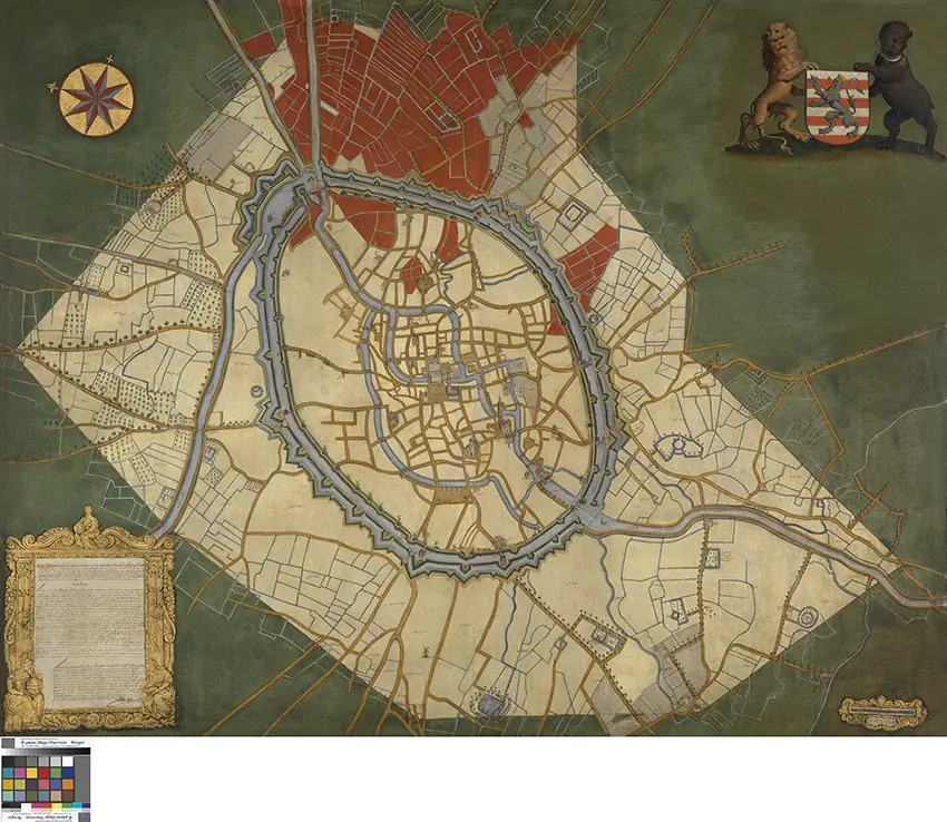 Kaart van Brugge en de feodale gronden
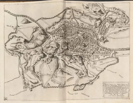 Topographical Map of Ancient Rome
![The Siege of La Rochelle [plate 6 of 16; set comprises 1952.8.97-112], by Jacques Callot](https://artifactworldgallery.com/img/jacques-callot--the-siege-of-la-rochelle-plate-6-of-16-set-comprises-1952-8--87e690454dc011ee-w320.webp) The Siege of La Rochelle [plate 6 of 16; set comprises 1952.8.97-112]
The Siege of La Rochelle [plate 6 of 16; set comprises 1952.8.97-112]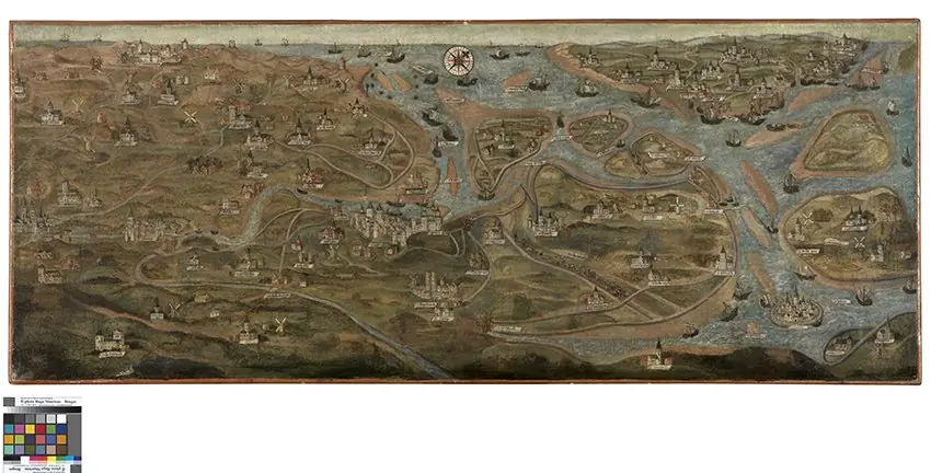 Map of the Zwin Area
![The Siege of La Rochelle [plate 7 of 16; set comprises 1952.8.97-112], by Jacques Callot](https://artifactworldgallery.com/img/jacques-callot--the-siege-of-la-rochelle-plate-7-of-16-set-comprises-1952-8--ed3ab4aaddd2281d-w320.webp) The Siege of La Rochelle [plate 7 of 16; set comprises 1952.8.97-112]
The Siege of La Rochelle [plate 7 of 16; set comprises 1952.8.97-112]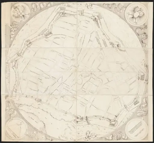 Map of Vienna
![The Siege of Breda [plate 3 of 6], by Jacques Callot](https://artifactworldgallery.com/img/jacques-callot--the-siege-of-breda-plate-3-of-6--c43bd4a835426ed7-w320.webp) The Siege of Breda [plate 3 of 6]
The Siege of Breda [plate 3 of 6]