Artwork
Kaart van Brugge en de feodale gronden
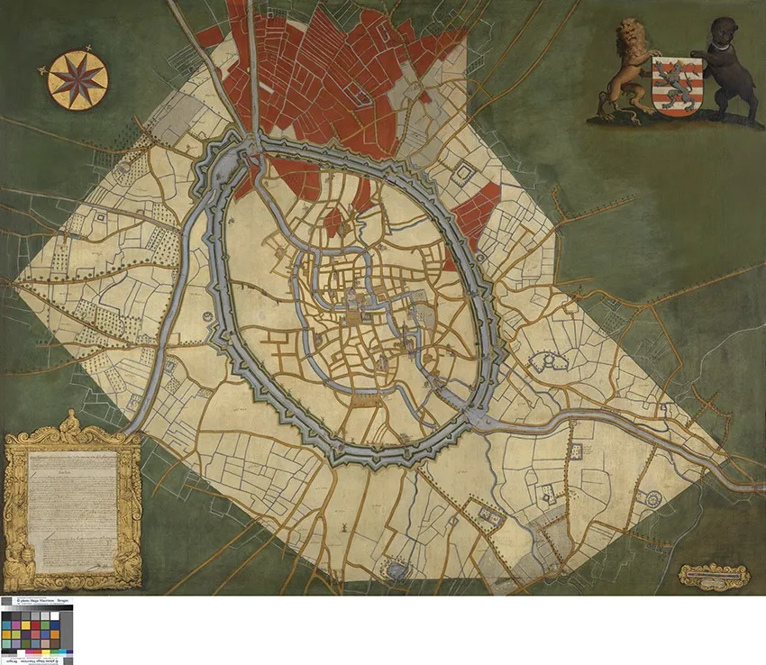
Kaart van Brugge en de feodale gronden is an oil painting by the Flemish Baroque painting artist Joannes Lobberecht. It dates from 1696 and is held in the collection of the Groeningemuseum.
About this work
Overview
Kaart van Brugge en de feodale gronden is an oil painting created in 1696 by Joannes Lobberecht. The work combines cartographic and symbolic elements to represent the city of Bruges and its associated territories.
Subject & Meaning
The painting depicts a circular-walled Bruges on a green background, divided by roads and canals, with prominent red buildings. A coat of arms featuring a bear and a lion is prominently displayed in the top-right corner, while a gold-framed document (with illegible text) appears in the bottom-left corner, suggesting administrative or historical significance.
Technique & Style
Executed in oil paint, the work's style bears resemblance to the known oeuvre of Joannes Lobberecht, characterized by detailed, realistic renderings of architectural and geographical features. The incorporation of a compass rose (top-left) and the map's layout reflect cartographic precision.
History & Provenance
Created in 1696, the painting is currently part of the collection at the Groeningemuseum. The presence of a small, illegible inscription in the bottom-right corner may offer clues to its history, though its significance remains unclear without deciphering.
Context
As a 17th-century map-painting, it reflects the era's interest in territorial representation and civic identity. The blend of cartography and heraldic symbols underscores Bruges' feudal connections and administrative boundaries.
Legacy
While specific influences on later works are not immediately evident, 'Kaart van Brugge' contributes to the historical record of Bruges' layout and symbolism during the late 17th century, offering insights for historians and art scholars alike.
Artist & collection
Artist
A quiet hand mapped old Bruges in oil. Joannes Lobberecht rendered the city’s web of canals and cobbled lanes in precise, top-down views, blending cartography with gentle color. Two such works, from 1690 and 1714, let…

 Kaart van Brugge en de waterwegen
 Map of Bruges
 De Markt in Brugge
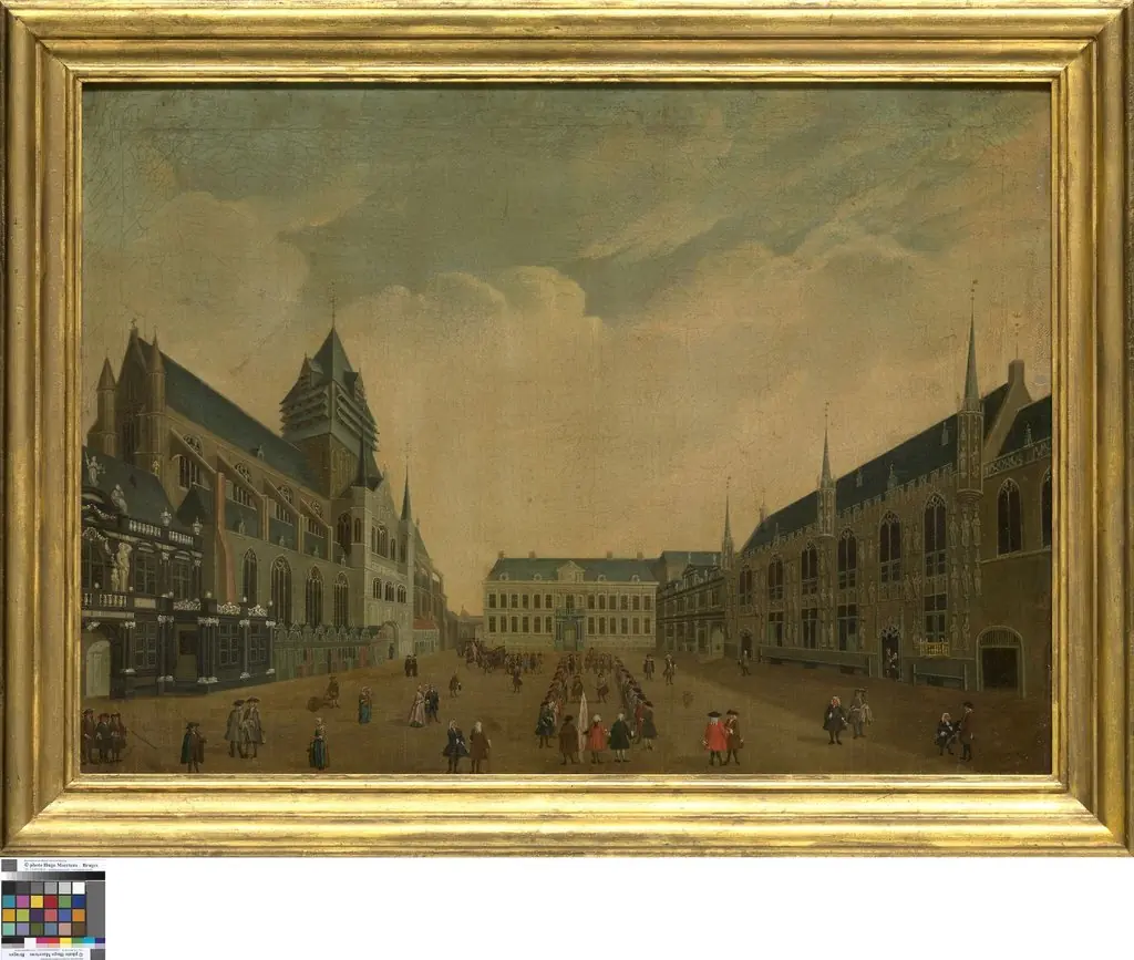 De Burg in Brugge
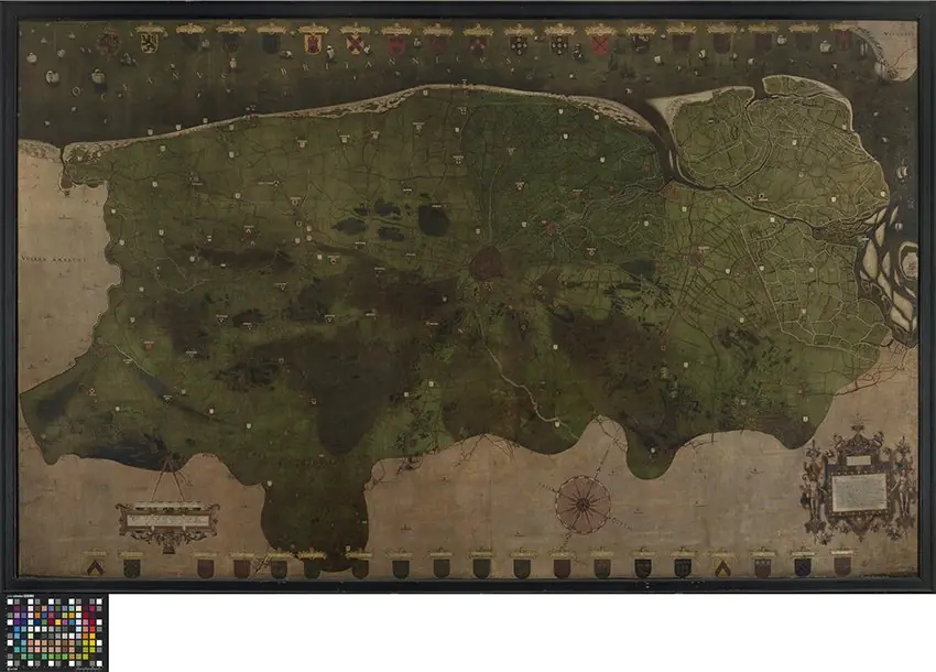 Map of the Liberty of Bruges
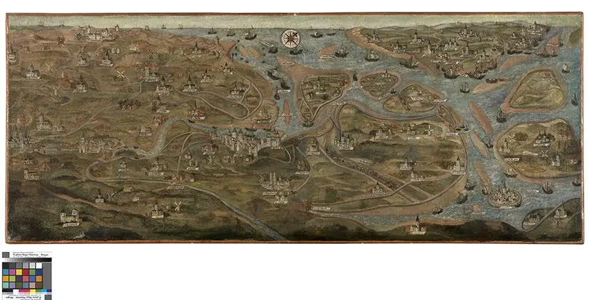 Map of the Zwin Area
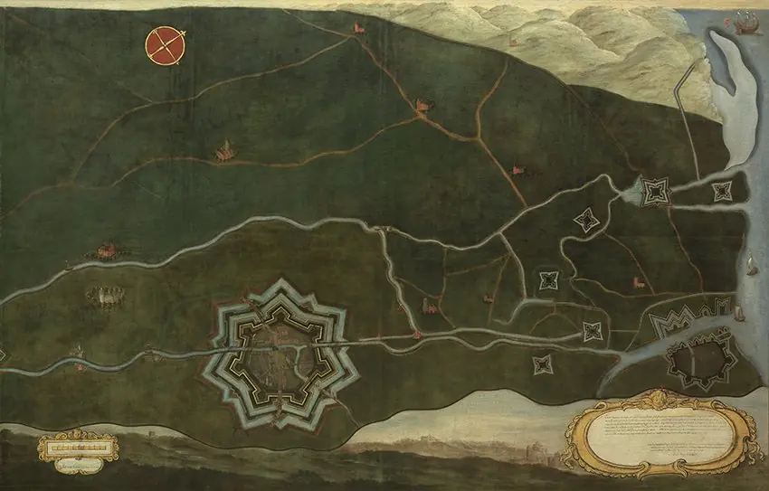 Kaart van Damme en de Spaanse grensforten bij Sluis
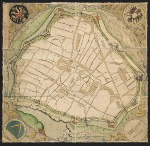 Map of Vienna
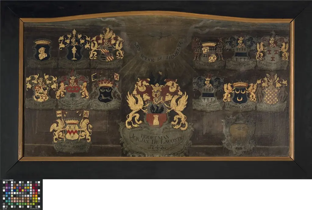 Wapenbord van de rederijkerskamer Heilige Geest
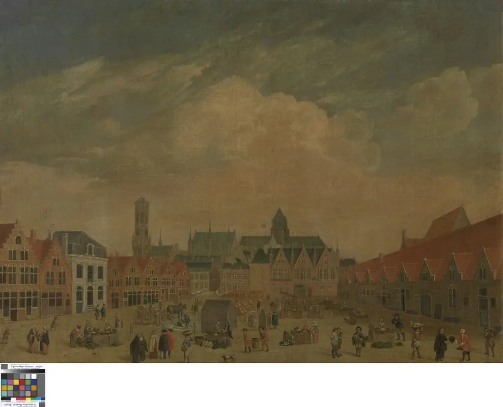 De Braamberg in Brugge
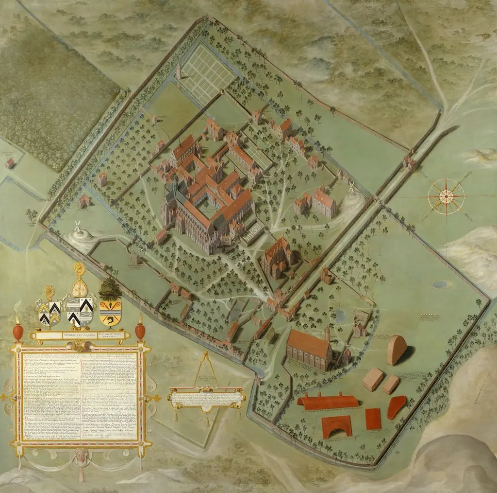 Plan of the Abbey of the Dunes at Koksijde
 View of Venice